Reality Capture Services
With 25 years of combined surveying experience, we understand that accurate data drives better decisions.
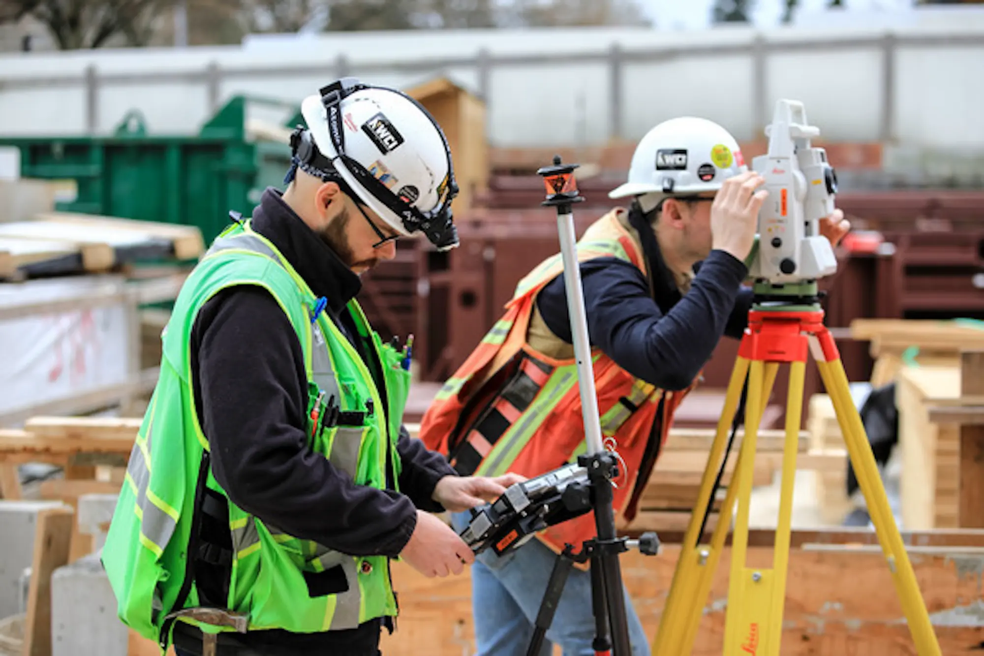
Our in-house Reality Capture team uses LiDAR scanning and photogrammetry to document existing conditions with millimeter accuracy. This isn't optional for complex projects—it's essential.
Our Services:
- Existing condition documentation
- As-built verification and documentation
- Progress tracking and quality control
- Site surveying and layout
- Clash detection between model and field conditions
The Technology:
- Terrestrial LiDAR scanners
- SLAM Mobile Scanners
- Drone-based photogrammetry
- GPS and total station surveying
- Point cloud processing and analysis